May 24, 2021
Historical maps website
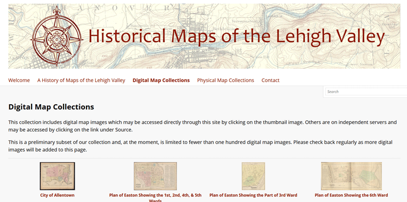 Historical Maps of the Lehigh Valley features maps from the collections of local museums, college and university libraries, historical and genealogical societies, and public libraries. The website will be a platform for a growing collection of digital map images documenting the history of our area as well as a centralized registry of the physical maps available for in-person research at area institutions. Learn more.