August 30, 2022
Take a maps & geospatial technology workshop
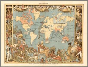 John Clark, Geospatial Services Librarian, will be providing a series of six sessions designed to introduce participants to the digital world of maps and mapmaking during the first half of the Fall 2022 semester. Two of the sessions are repeated, making for a total of eight events. These talks are designed to introduce participants to a variety of digital geospatial tools and will include some demos. These sessions may be enjoyed independently of each other, so please join us for one or many of them.